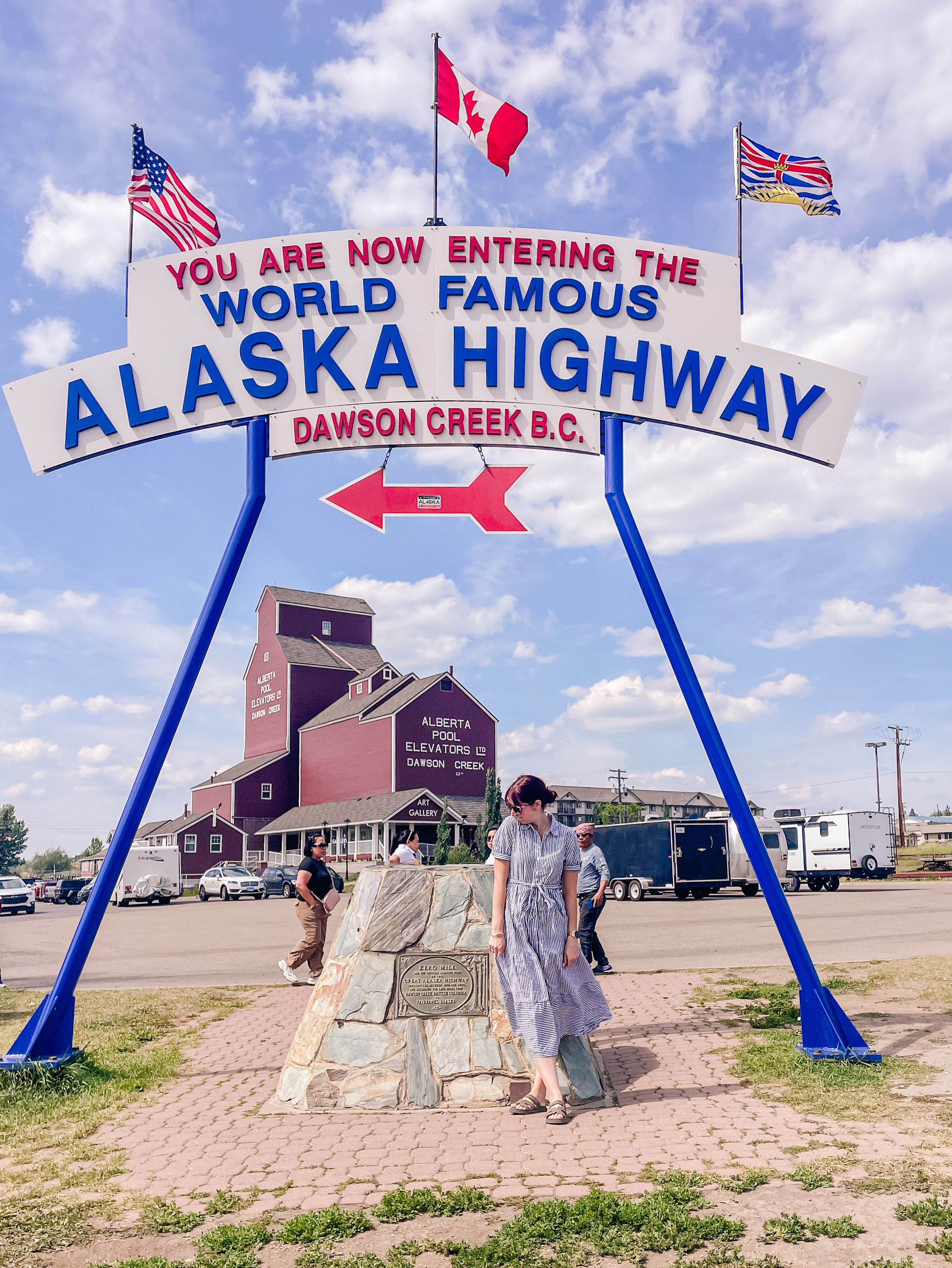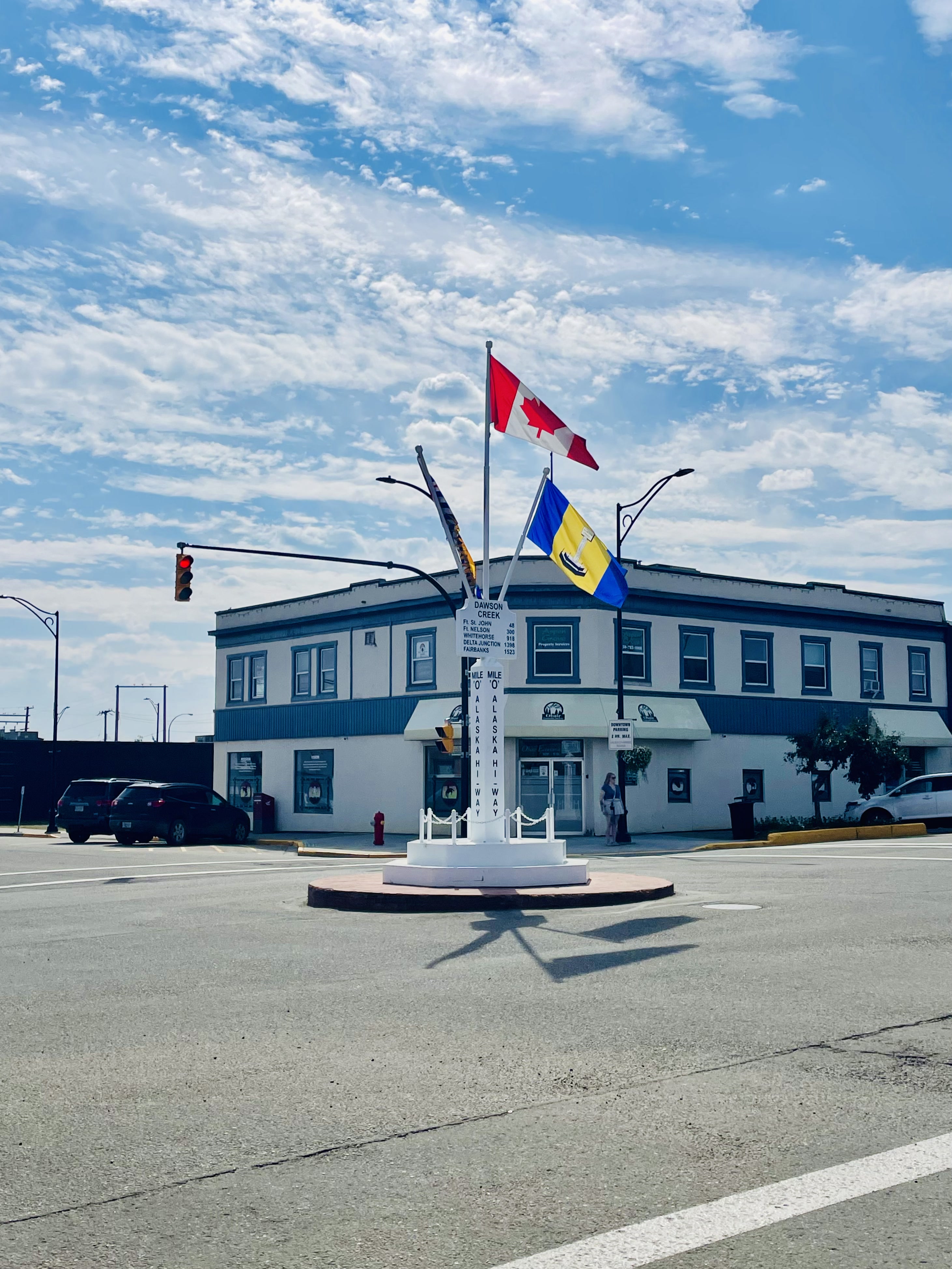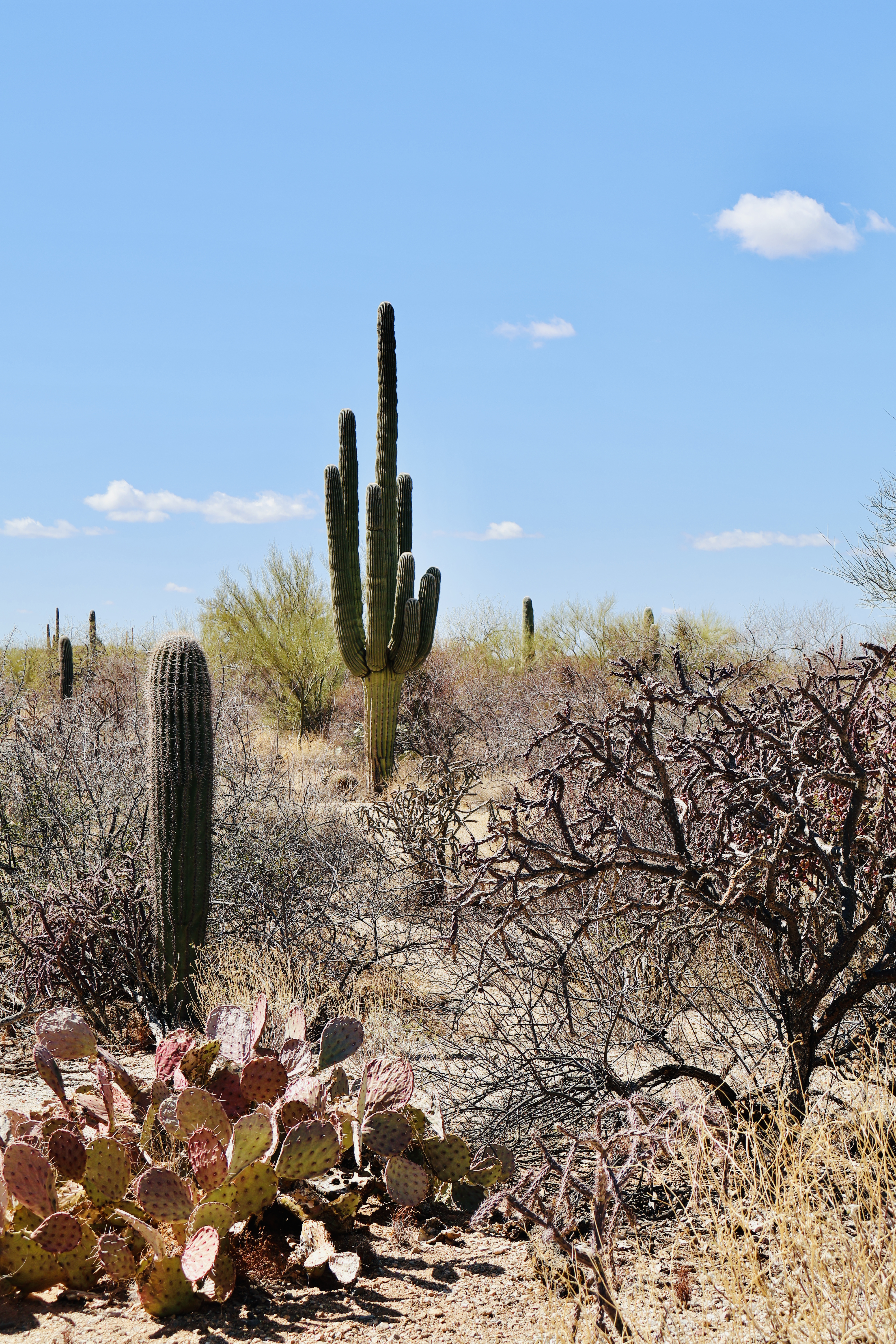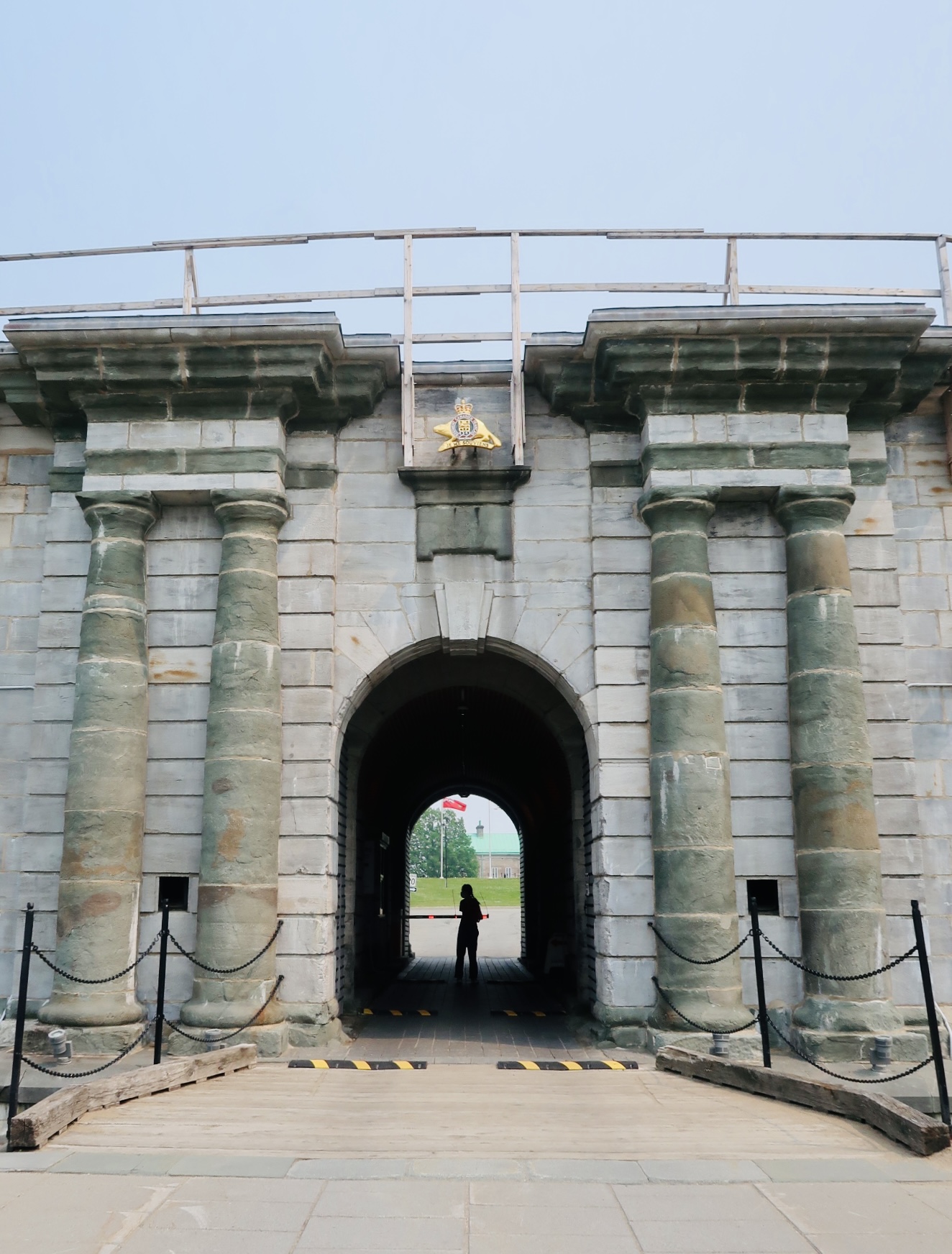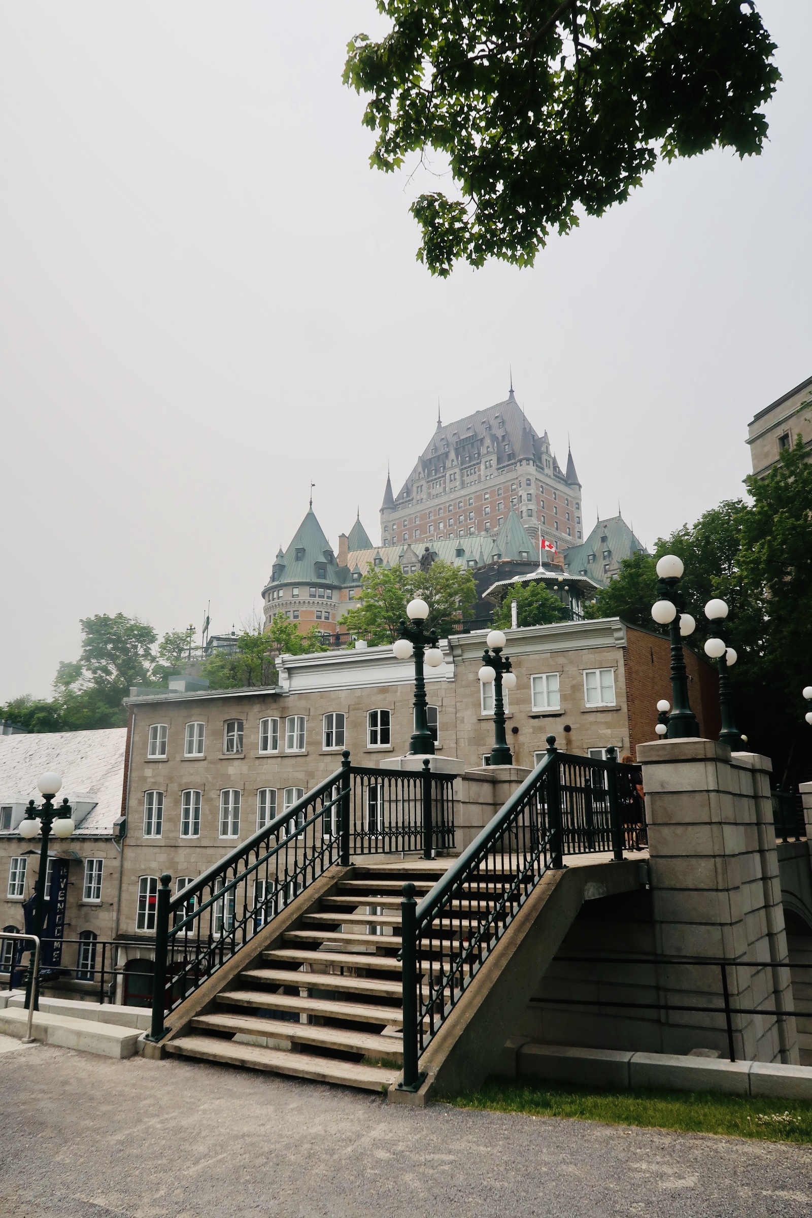
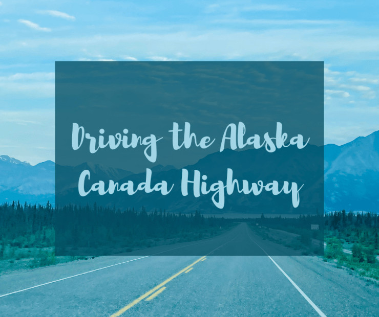
When we moved to Interior Alaska from Texas, we drove. Boy it was a long drive, but the best part of the drive was when we entered the Alaska Canada Highway. It had the prettiest views, the most remote locations on our entire route (and seriously no cell phone service ANYWHERE). This is the only way to drive to Alaska that does not include taking the ferry- which was not an option for us (and not something we were really interested in).
Originally constructed during WW2, the Alaska Canada Highway was a dream first mentioned in the 1920’s. The idea of connecting the Northern United States to Alaska via Canada was novel (and unwanted for a long time by Canada). However, when Japan attacked Pearl Harbor a lot of concern was voiced regarding Alaska and then the further interior of both Canada and the United States. In February of 1942 both countries (Canada and the United States) came to an agreement to fund and build the road. It detailed that the USA would bear the full cost and most of the construction during the war, once the war was over the US would hand the Canadian portions back to Canada.
Construction was started in March of 1942 with a total of 10,000 soldiers from the Army Corp of Engineers responsible for seeing this dream to fruition. It was initially marked as a supply route (though it was never actually used for this). They went about building the road using four main pushes and worked from one end to the other. While building, they left quite the mess around causing the road to be nicknamed “oil can highway” and ended up decimating an indigenous village and most of its residents. Six months after construction began crews met in the “middle” of the route and the route was completed in October of 1942 (shocking what a world war will do for construction).
The road was initially completed simply for army vehicles to use. Standard vehicles were not able to drive the route until 1943 due to steep grades, no guard rails, and switchbacks (to name a few problems). In fact, in the spring/summer of 1943 a large portion of the route was unusable due to permafrost thawing causing the road to be destroyed.
In April of 1946 the United States signed the land back over to Canada, along with all of the maintenance needed for the road. While this handover took place in 1946, the roads did not start changing/improving and being paved until the late 1950’s and 1960’s. Paving was done in spurts and there are still sections today where it is gravel.
The Alaska Canada Highway has changed routes ever so slightly providing a safer route, shorter route, and improvement for driving conditions. This means that some of the mile markers are not correct (specifically once you reach Alaska) and that some of the older roads have been surpassed and are simply neighborhood roads (can you imagine?!).
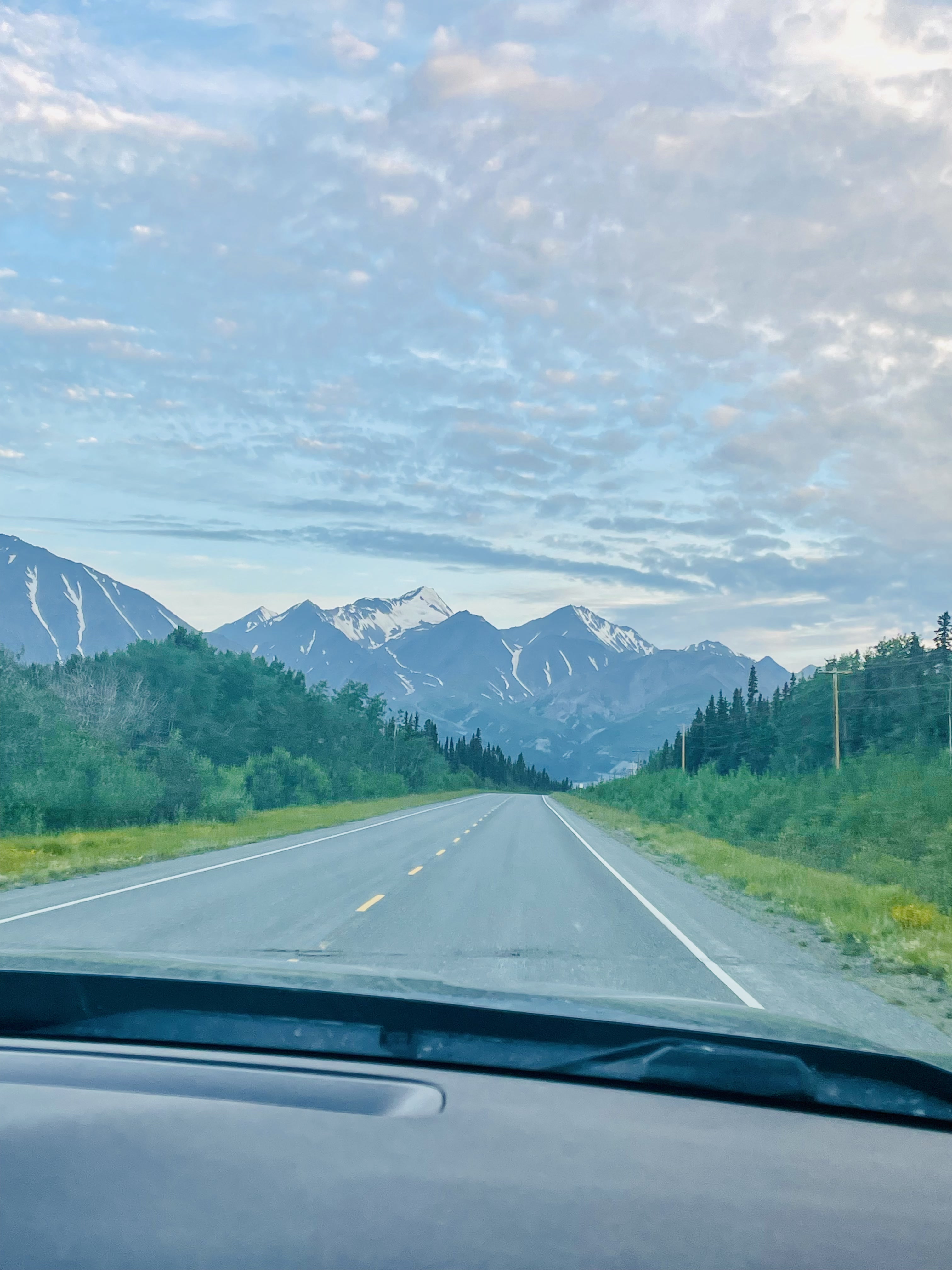
We spent a total of 4-5 days on the Alaska Canada Highway, and it is simply the most gorgeous route there is. The roads are really good and well maintained- until the last stretch of road, which does have the permafrost heaves and quite a lot of the gravel sections. A couple of important notes if you choose (or are made to) travel the Alaska Canada Highway-
- Grab the Milepost book. This was first published in 1949 (at only 72 pages) and has grown into the definitive mile by mile guidebook. It not only covers the route, but places to stay, things to do, gas stations, and other fun things. It is the biggest help from planning the trip to actually being on the road. There were a couple spots we stopped at because we read about them in the Milepost. It is almost 800 pages of information on every single aspect of the route and region. The Milepost can be purchased online or when you get to the route, but you can also grab free guidebooks at the entry point, and these are valuable as well! They tend to be a bit more condensed down but are still great to have. I referenced both throughout the trip.
- Remember that you will not have any phone service (unless you have a starlink). The route is fairly straightforward (especially if you have the Milepost), but there is no phone service if you get stranded. When we head out of Alaska (if we do), I do think we will put our Starlink into some sort of travel mode just so that we have that in case of emergencies. Thankfully we didn’t need to worry about it too much and each hotel we stayed at had internet service so we could do what we needed.
- The road itself is decent until the last stretch and the last stretch will either be great or terrible. I wanted to touch on this because the road varies from day to day. When we went through (mid-July), it wasn’t terrible. We think we were past the leveling efforts (they do this every year after thawing), the holes had been patched for the most part, and we didn’t have much traffic. However, that does not always dictate the condition of the road- it can vary wildly with traffic and weather. The road can also close due to accidents, wildfires, or damage. Another note- there are typically not “shoulders” to pull off to. You get as close to the side as you can (out of traffic), but then you are at the mercy of other vehicles to be able to move enough in order for you to do what you needed to do (was never more grateful for a blown tire early in the morning with only one other car on the road).
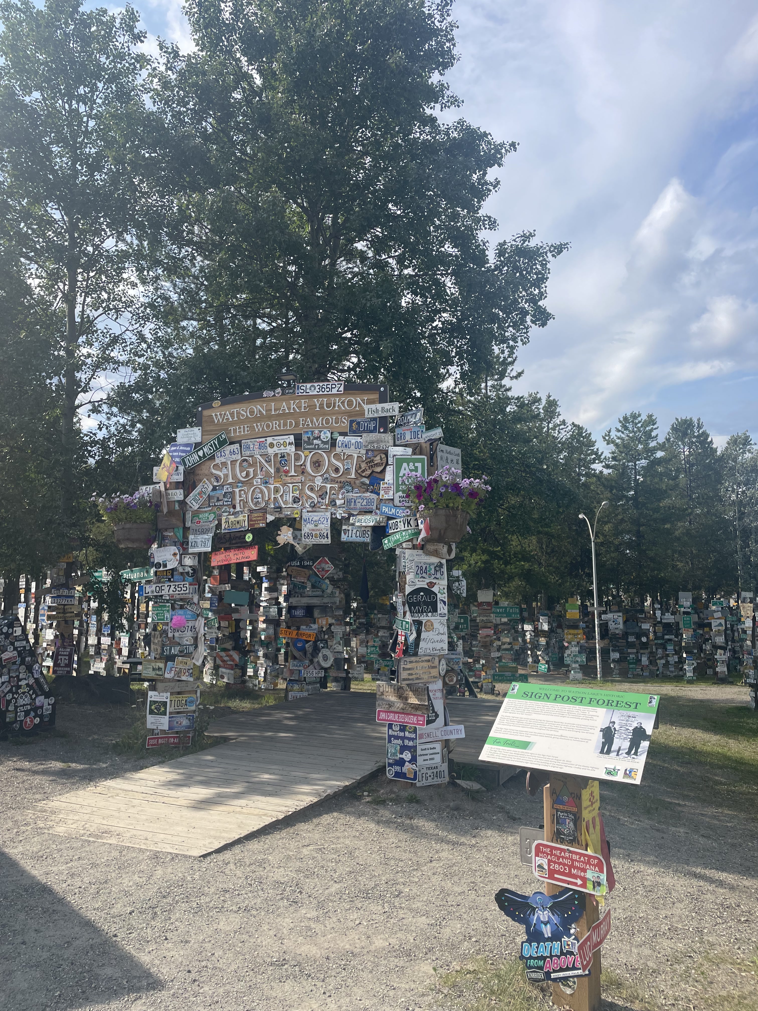
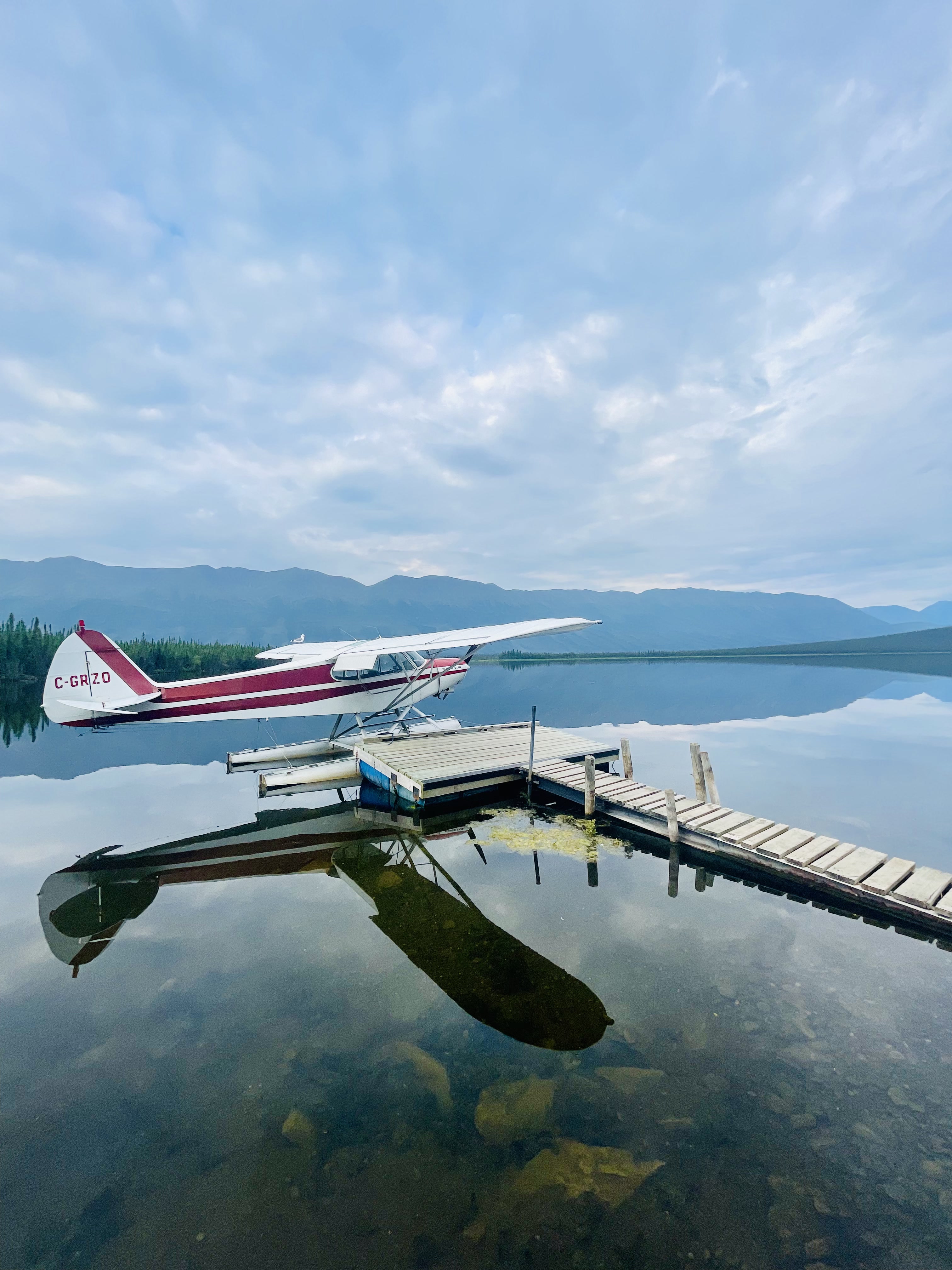
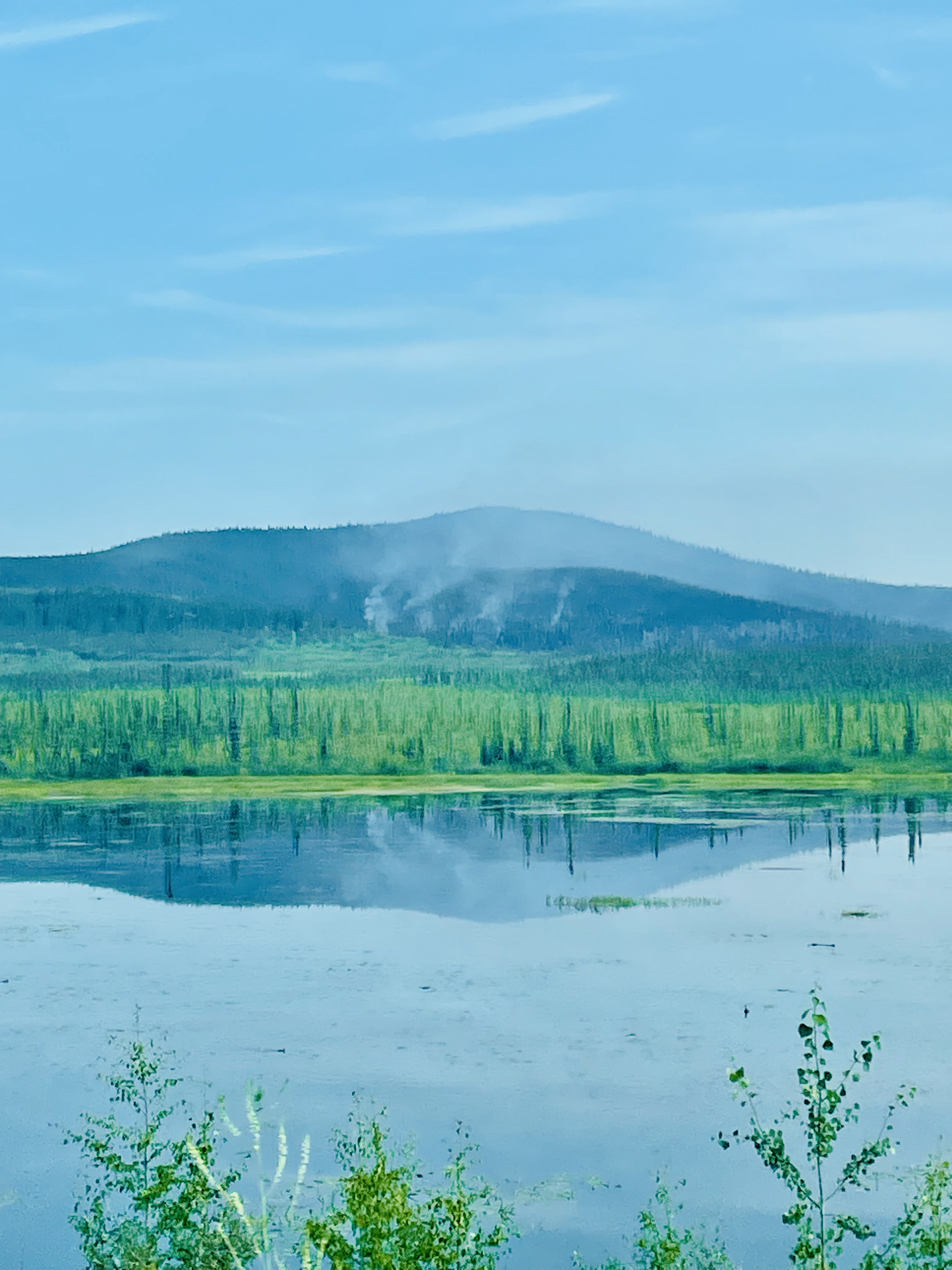
- Stop, stop, stop! Make all the stops- enjoy the food, enjoy the scenery, and stop everywhere you even have the slightest desire too. I wish we had done a smidge more hiking, but we didn’t really have the travel days built in to do that. We did stop at the Liard Hot Springs, and it was the best little break (and the best priced hot springs). We stopped at a service/rv area for some bison burgers and a commemorative coin. We would pull over on the side of the road (for kids’ potty breaks really) and just admire the general beauty of the area. Untouched wilderness is something special.
- If you are going to drive the Alaska Canada Highway, your final and most up to date resource is the Driving the AlCan group on Facebook. This is run and maintained by locals to the route, has a plethora of resources and files to cover everything you might need for the trip, and provides up to date information on any closures. Seriously this group is amazing.
Our travel from TX to AK was honestly pretty incredible and full of such beautiful site (even if it was loooooonnnnnnngggggggg).